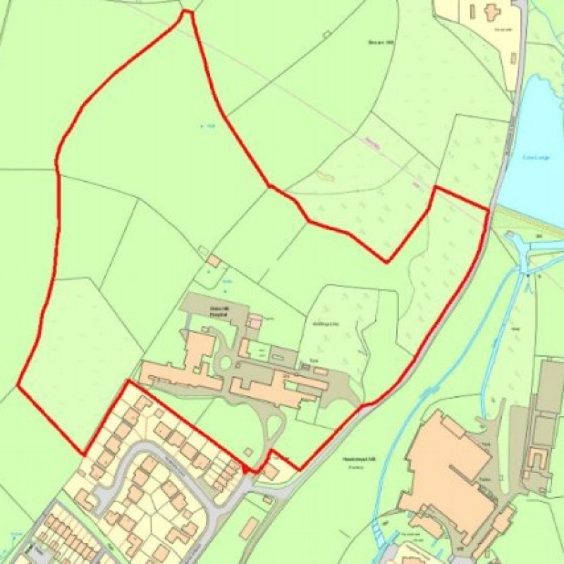
Map
Please note: Locations and addresses are approximate and may not be as accurate as expected.
Planning
Application reference: Multiple
Planning authority: High Peak Borough Council
Application details:
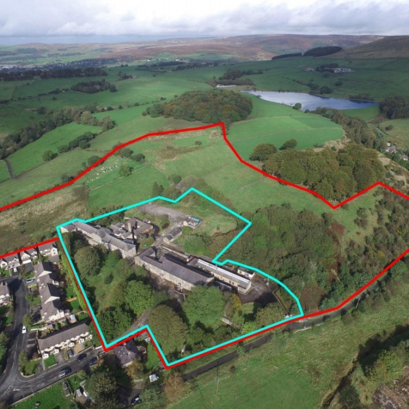
The High Peak Local Plan (2016) Proposals Map shows that the Property lies outside of the ‘Built-Up Area’ of Glossop, with the area edged red on the Planning Application Plan allocated as ‘Countryside’ and the remainder as ‘Green Belt’.
The existing buildings are not listed and the Property is not within a Conservation Area. A Certificate of Immunity was granted on 4 October 2019, precluding the Secretary of State from listing the Shire Hill Hospital for a period of five years and the local planning authority from serving a Building Preservation Notice on it during that period.
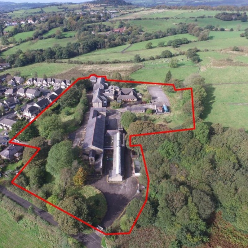
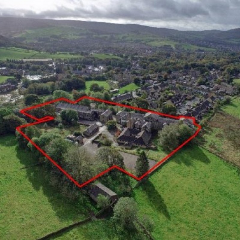
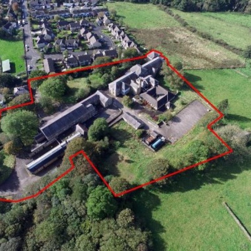
An outline planning application was submitted in July 2019 (ref. HPK/2019/0316). This proposed the development of up to 52 dwellings (all Matters reserved) on the area of the Property edged red on the Planning Application Plan above. This application is currently being determined by High Peak Borough Council, with discussions currently ongoing regarding the viability of retaining any of the buildings at the Property. However, the residential development of the Property is considered to be acceptable in principle based on the pre-application response received in May 2019.
The land to the south east of the Property (in third party ownership), is subject to a separate application
seeking outline planning permission to develop 56 dwellings, which is also currently being determined by
High Peak Borough Council (ref. HPK/2019/0215).
LandHawk is a comprehensive database of recent and historical planning applications. Designed to deliver powerful, detailed search with greater accuracy and control.
Get instant insight into the status of any area within the country, with a reliable data source that combines 99% of all available planning application data across UK local authorities.
We have exclusively partnered up with LandHawk so you can immediately understand the planning situation of the empty property or site you are looking at. When you sign up and contacted by LandHawk, please say you singed up via LandAttic and you will immediately receive an extended 60 day free trial!
Ownership
LandHawk hosts, manages and displays a digitised version of every land parcel in the UK, as produced by His Majesty's Land Registry (HMLR) and, in the case of Scotland, Registers of Scotland using the INSPIRE data. Each land parcel contains the land registry title deed number and, in the cases of commercial and overseas ownership, directly accessible information for the ownership of that land parcel.
We have exclusively partnered up with LandHawk so you can immediately investigate the ownership of an empty property or derelict site you are looking at. When you sign up and contacted by LandHawk, please say you singed up via LandAttic and you will immediately receive an extended 60 day free trial!
