Derwenthorpe

York, Yorkshire

POA

Reference:
2207
Type:
Residential
Tenure:
Freehold
Status:
Available
Size:
3.26 acres

Map

Please note: Locations and addresses are approximate and may not be as accurate as expected.

Details

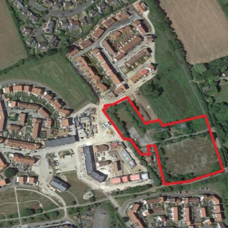
The cleared brownfield site comprises a total gross area of approximately 3.26 acres (1.319 hectares). Beyond the north, west and south of the site’s boundaries lies already built-out and established phases of Derwenthorpe. The topography of the site is relatively flat. There are two overhead National Grid power pylons to the north of the site.

Planning

Application reference: 18/01778/FULM

Planning status: Detailed Planning Permission

Application details:

The site benefits from a Full Planning Permission for the “Erection of 40 dwellings with associated roads, landscaping and public open space” (Ref: 18/01778/FULM) dated 28th February 2020. Building on the successes of previous phases, this site completes the masterplan by adopting the urban design principles characteristic of Derwenthorpe. There is a corresponding S.106 Agreement, dated 20th February 2020.