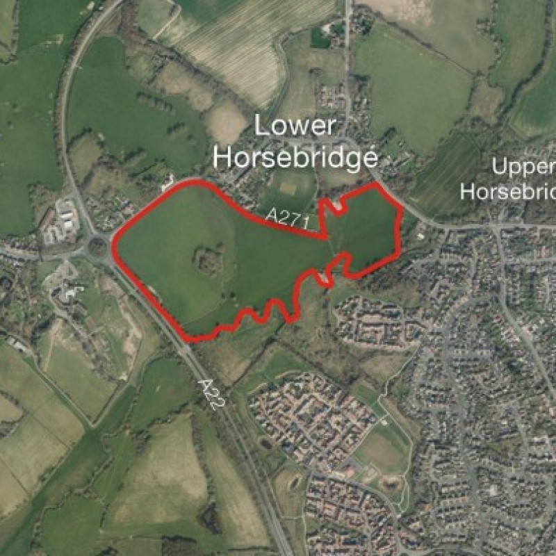
Map
Please note: Locations and addresses are approximate and may not be as accurate as expected.
Planning
Planning status: No Application
Planning authority: Wealden District Council
Application details:
Pre-application advice was sought from Wealden District Council in March 2020 for a proposed development of 146 dwellings, additional recreation space/flood compensation, and riverside corridor. The opinion of the planning officer is that development of the site would harm the landscape character and appearance of the area and so would not be supported.
However, the officer did acknowledge that the authority
could only demonstrate a 3.67-year supply of housing land
(as set out in the December 2019 monitoring report).
LandHawk is a comprehensive database of recent and historical planning applications. Designed to deliver powerful, detailed search with greater accuracy and control.
Get instant insight into the status of any area within the country, with a reliable data source that combines 99% of all available planning application data across UK local authorities.
We have exclusively partnered up with LandHawk so you can immediately understand the planning situation of the empty property or site you are looking at. When you sign up and contacted by LandHawk, please say you singed up via LandAttic and you will immediately receive an extended 60 day free trial!
Ownership
LandHawk hosts, manages and displays a digitised version of every land parcel in the UK, as produced by His Majesty's Land Registry (HMLR) and, in the case of Scotland, Registers of Scotland using the INSPIRE data. Each land parcel contains the land registry title deed number and, in the cases of commercial and overseas ownership, directly accessible information for the ownership of that land parcel.
We have exclusively partnered up with LandHawk so you can immediately investigate the ownership of an empty property or derelict site you are looking at. When you sign up and contacted by LandHawk, please say you singed up via LandAttic and you will immediately receive an extended 60 day free trial!

