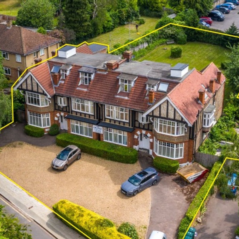
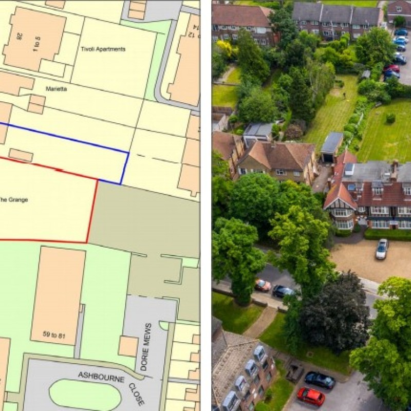
Map
Please note: Locations and addresses are approximate and may not be as accurate as expected.
Planning
Planning authority: Barnet Council
Application details:
The site falls within the jurisdiction of the London Borough of Barnet. The property is in use as a care home (C2 use). The property is not listed, nor are any of the immediately adjacent buildings. The site is not in a Conservation Area. A Tree Protection Order covers the trees fronting Woodside Grange Road in front of the property to the immediate north. There is some planning history for the site. Planning permission was granted on 15/01/1996 (Ref: N01769H) and subsequently renewed on 20/03/2001 for a part single storey, part three storey rear extension and single storey side extension to the Property. Two recent applications for a scheme of six residential apartments on the garden to the rear of The Grange were refused by LB Barnet, and the decision was upheld at appeal on the first application. These recent applications did not involve works to The Grange, only the garden to the rear. In 2018 a pre-application was made for redevelopment of The Grange for a scheme comprising 9 residential apartments with a total NSA of 1,281 sq m (13,789 sq ft) and 14 car parking spaces. The drawings submitted and the Local Authority’s written response, which is positive about the prospects for residential use on the site, are available on the dataroom. There is potential for conversion of and extensions to the property, or redevelopment of the site for alternative uses, including residential, subject to the necessary permissions.
LandHawk is a comprehensive database of recent and historical planning applications. Designed to deliver powerful, detailed search with greater accuracy and control.
Get instant insight into the status of any area within the country, with a reliable data source that combines 99% of all available planning application data across UK local authorities.
We have exclusively partnered up with LandHawk so you can immediately understand the planning situation of the empty property or site you are looking at. When you sign up and contacted by LandHawk, please say you singed up via LandAttic and you will immediately receive an extended 60 day free trial!
Ownership
LandHawk hosts, manages and displays a digitised version of every land parcel in the UK, as produced by His Majesty's Land Registry (HMLR) and, in the case of Scotland, Registers of Scotland using the INSPIRE data. Each land parcel contains the land registry title deed number and, in the cases of commercial and overseas ownership, directly accessible information for the ownership of that land parcel.
We have exclusively partnered up with LandHawk so you can immediately investigate the ownership of an empty property or derelict site you are looking at. When you sign up and contacted by LandHawk, please say you singed up via LandAttic and you will immediately receive an extended 60 day free trial!


