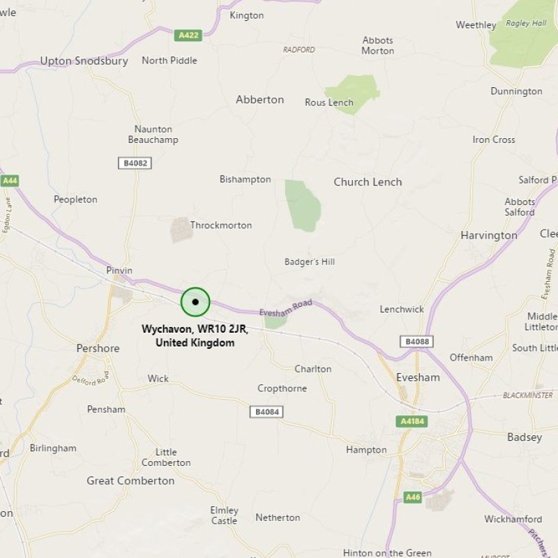
Map
Please note: Locations and addresses are approximate and may not be as accurate as expected.
Details
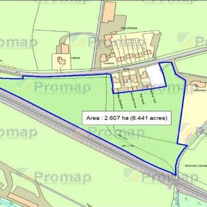
Residential development opportunity at Upper Moor, near Pershore. The site is identified within the South Worcestershire Development Plan (SHLAA) 2015 ref: 91-06.
Planning
Application reference: N/A
Planning authority: Worcestershire County Council
Application details:
This site is identified in the south Worcestershire development plan for potential future development, presumably residential due to its rural surroundings.Land Registry Title
The official Land Registry map which shows the title boundary of each property as it is represented and registered with Land Registry.
We have partnered with LandCycle to bring you the best possible service. By registering for free you will receive credits which you can use to retrieve more information regarding this property.