Land at Ore Valley

Hastings, East Sussex

POA

Reference:
940
Type:
Residential
Tenure:
Freehold
Status:
Unknown
Size:
6.6 acres

Map

Please note: Locations and addresses are approximate and may not be as accurate as expected.

Planning

Application reference: HOV2

Planning status: Allocation

Planning authority: Hastings Borough Council

Application details:

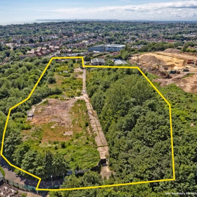
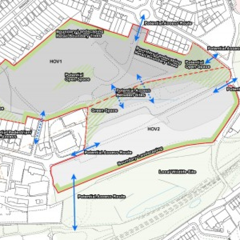
The Site falls under the planning jurisdiction of Hastings Borough Council. The Site is allocated in the Hastings Proposals Map for residential development under site reference HOV2 - Ore Valley, with a possible net capacity of 50 units.

There is also a design brief for Focus Area 11 for the sites at the Former Stills Factory. This has been prepared to supplement individual site policies for the larger and more complex allocated sites in the Local Plan.

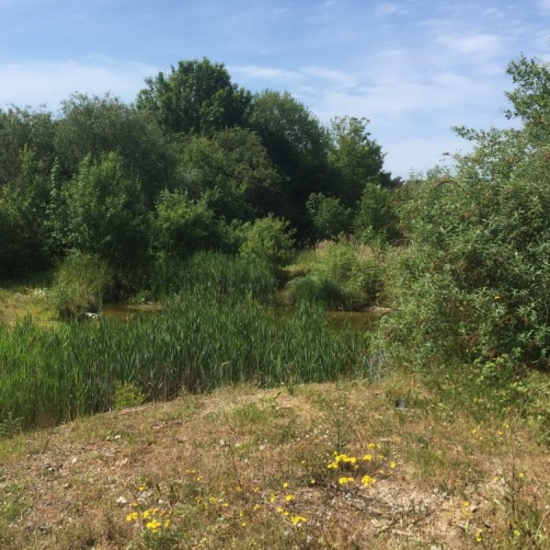
Further designations include an overhead power line to the northern boundary (DM6) and that the Site is situated within the Eastern Spatial Area (FA5). The Site is not Listed and not within a conservation area. There is a proposed cycle route continuing adjacent to the eastern and southern boundaries of the site (T3). There is also a Local Wildlife Site (EN3, EN6 and HN8) adjacent to the southern boundaries at Broomgrove.

The regeneration of the wider Ore Valley area has been a long term objective of Hastings Borough Council, which was formerly enabled by the Millennium Communities Programme. 

LandHawk is a comprehensive database of recent and historical planning applications. Designed to deliver powerful, detailed search with greater accuracy and control.

Get instant insight into the status of any area within the country, with a reliable data source that combines 99% of all available planning application data across UK local authorities.

We have exclusively partnered up with LandHawk so you can immediately understand the planning situation of the empty property or site you are looking at. When you sign up and contacted by LandHawk, please say you singed up via LandAttic and you will immediately receive an extended 60 day free trial!

LandHawk Logo

Ownership

LandHawk hosts, manages and displays a digitised version of every land parcel in the UK, as produced by His Majesty's Land Registry (HMLR) and, in the case of Scotland, Registers of Scotland using the INSPIRE data. Each land parcel contains the land registry title deed number and, in the cases of commercial and overseas ownership, directly accessible information for the ownership of that land parcel.

We have exclusively partnered up with LandHawk so you can immediately investigate the ownership of an empty property or derelict site you are looking at. When you sign up and contacted by LandHawk, please say you singed up via LandAttic and you will immediately receive an extended 60 day free trial!

LandHawk Logo